

10+
Years Experience
About Company
Your Trusted Partner in Geospatial Excellence
With over a decade of experience in geospatial technology, we deliver accurate, innovative, and scalable solutions that turn complex spatial data into actionable insights. Our expertise helps organizations improve decision-making, optimize operations, and achieve measurable business outcomes.
We focus on quality, reliability, and long-term partnerships—ensuring every solution is tailored to real-world challenges and built for lasting impact.
50+
Experts
500+
Projects
30%
Faster
99.9%
Accuracy
24/7
Support
10x
Scalable
Services
Comprehensive GIS Solutions
From data collection to advanced analytics, we provide end-to-end geospatial services that help organizations make data-driven decisions.

GIS Development
Custom GIS application development with web and mobile solutions tailored to your business needs. Integration with enterprise systems and cloud platforms.

GIS Data Collection
Professional field data collection using GPS devices, 360-degree cameras, and mobile mapping systems. Accurate positioning with sub-meter precision.

GIS Data Creation
Comprehensive geospatial database creation and management. Data digitization, attribute tagging, and quality assurance for reliable datasets.

LIDAR Modelling
Advanced 3D terrain modeling and point cloud processing. Digital elevation models, surface analysis, and volumetric calculations.

Image Processing
Satellite and aerial imagery analysis, orthorectification, and classification. Multi-spectral analysis for vegetation and land use mapping.
Our Solutions
Products That Drive Results
Purpose-built solutions designed to solve specific geospatial challenges across industries.
POI Buddy
Mobile Data Collection App
Streamline field data collection with our intuitive mobile application. Capture points of interest, photos, and attributes offline with automatic cloud sync.
- Offline-first architecture
- GPS-based positioning
- Photo and video capture
- Custom form builder
- Real-time sync

Industries We Serve
Expertise Across Sectors
We deliver tailored geospatial solutions for organizations across diverse industries, from government agencies to private enterprises.
Navigation
HD mapping and location services for automotive, logistics, and consumer navigation applications.
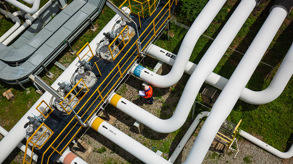
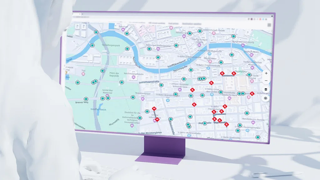
Utilities
Asset management and network planning for electric, gas, water, and telecommunications utilities.
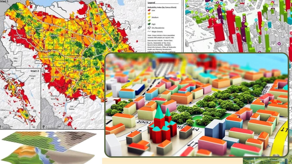
Government
Land administration, urban planning, and public infrastructure management solutions.

Telecom
Network planning, coverage analysis, and site selection for telecommunications infrastructure.

Infrastructure
Construction monitoring, transportation planning, and civil engineering project support.

Agriculture
Precision farming, crop health monitoring, and agricultural land management solutions.
Contact Us
Let's Start a Conversation
Have a project in mind? Our geospatial experts are ready to help you.